 GeoData.NZ
TIDAL HEIGHT
Type of resources
Topics
Keywords
Contact for the resource
Provided by
Years
Update frequencies
status
-

A sea level recorder and barometer was installed at Scott Base in January 2001 initially to support oceanographic and hazards research (including tsunami) and to support hydrographic surveying. The sea-level recorder is a nitrogen bubbler system with a paroscientific pressure transducer located on a bottom-mounted spigot of the osmosis boom (to enable lifting for maintenance), that ensures the orifice always returns to the same point. Sea level and atmospheric pressure and temperature are recorded at 5 minute intervals and stored every 24 hours. Each year the rise and fall of the sea ice is observed over a 2-3 day period during a spring tide using GPS. These measurements are related to a tide gauge benchmark and the sea surface to enable the reliability of the tide gauge to be checked. GET DATA: https://sealevel-data.linz.govt.nz/index.html?tidegauge=SCOT
-
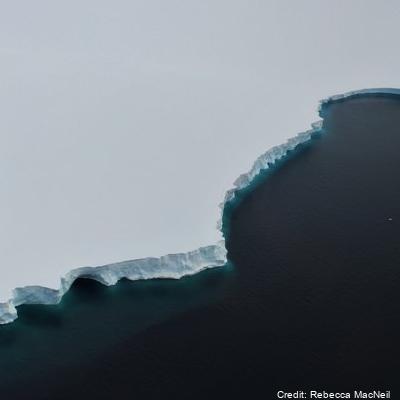
A tide gauge was installed in November 1990 and has been in near continuous operation since. A 10 minute average of water depth was recorded each hour with hourly averages of wind speed and direction, air temperature and solar radiation. From 2000 the recording frequency was increased from every hour to every 10 minutes. From 2003 data is read every 10 seconds and an average value (from 60 readings) is calculated every 5 minutes and recorded. Barometric pressure was measured as well, starting in 2003, with six barometric pressure readings made between 2 and 3 minutes in the 5-minute interval and averaged and recorded with the tide value. Each year the rise and fall of the sea ice is observed over a 2 - 3 day period during a spring tide using GPS. These measurements are related to a tide gauge bench mark and the sea surface to enable the reliability of the tide gauge to be checked. The tide gauge data is archived by Land Information New Zealand. GET DATA: https://sealevel-data.linz.govt.nz/index.html?tidegauge=ROBT
-
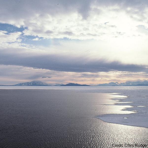
Temperature and salinity observations were made at nominal depths of 75 m and 100 m, respectively, by Sea Bird Electronics sensors. Acoustic volume backscatter measurements were made by an ASL Environmental Sciences Acoustic Zooplankton Fish Profiler (AZFP) operating at four-frequencies (125 kHz, 200 kHz, 455 kHz and 769 kHz). The AZFP profiled the top 25 m of the water column in 0.1 m bins. All instruments were deployed through a landfast sea ice cover that was approximately 2 m thick. The WWW Tide and Current Predictor model was used to generate tidal height forecasts for the deployment periods. Ocean salinity was recorded at 10 second intervals by a Seabird Electronics SBE 37 microCAT CTD at a nominal depth of 100 m in McMurdo Sound at 77.6152 °S, 164.8821 °E. The dates covered by the salinity observations at 100 m depth are from 28-10-2016 06:43:11 UTC to 13-11-2016 21:59:51 UTC. The salinity is reported in units of practical salinity. Ocean temperature was recorded at 10 second intervals by a Seabird Electronics SBE 56 thermistor at a nominal depth of 75 m in McMurdo Sound at 77.6152 °S, 164.8821 °E. The dates covered by the temperature observations at 75 m depth are from 28-10-2016 06:43:11 UTC to 13-11-2016 21:59:51 UTC and 3-11-2017 08:26:01 UTC to 20-11-2017 23:00:01 UTC. The temperature is reported in units of °C in the ITS-90 temperature scale. Tidal height forecast data were produced from the WWW Tide and Current Predictor (http://tbone.biol.sc.edu/tide/tideshow.cgi?site=Ross+Island%2C+Antarctica) for Ross Island, Antarctica, for the period of the 2016 AZFP deployments. Related publication: Frazer, E. K., Langhorne, P. J., Leonard, G. H., Robinson, N. J., & Schumayer, D. (2020). Observations of the size distribution of frazil ice in an Ice Shelf Water plume. Geophysical Research Letters, 47, e2020GL090498. https://doi.org/10.1029/2020GL090498 GET DATA: https://doi.org/10.1594/PANGAEA.923762